

Surveying with Cutting-edge Technology

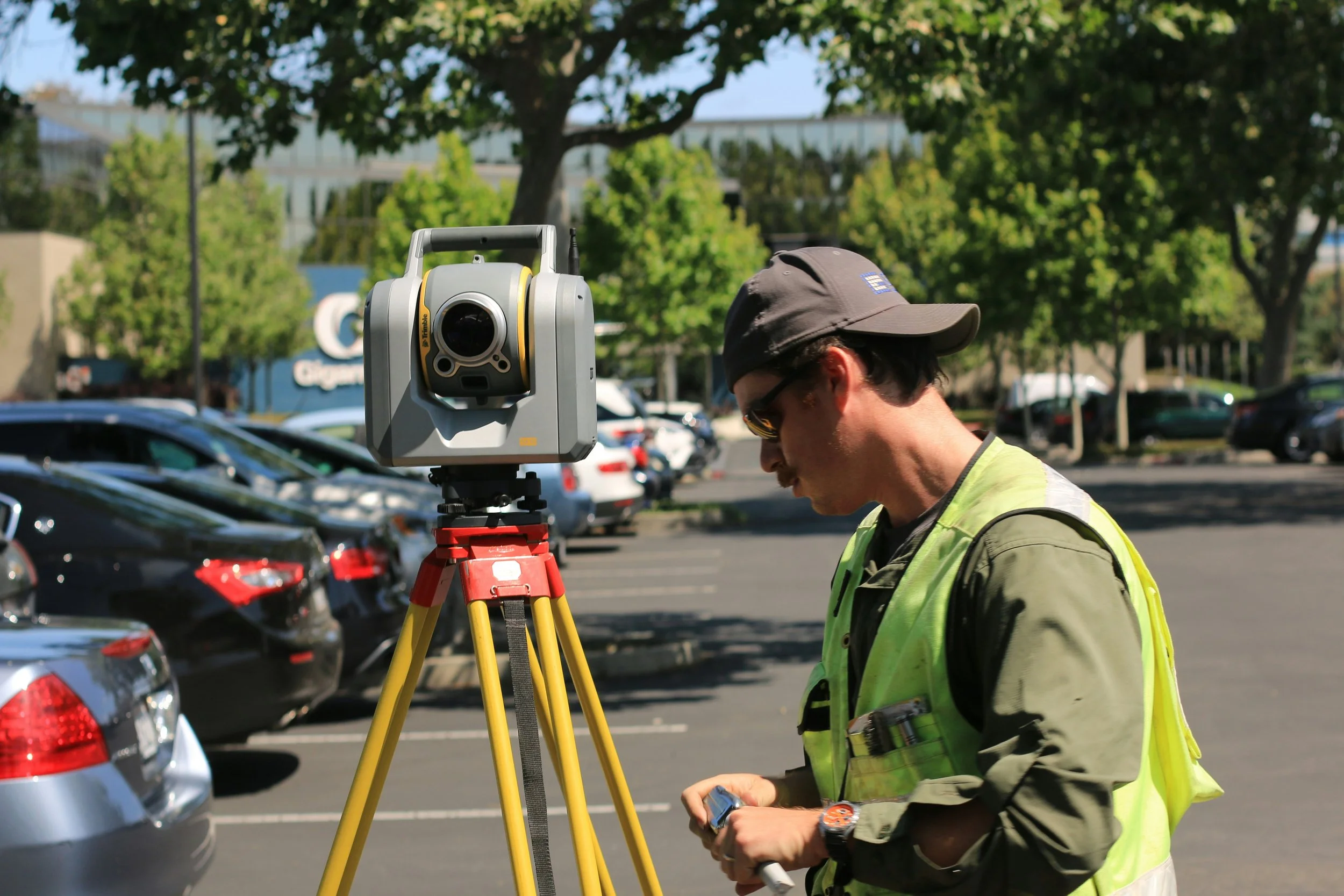

H2O Terra, LLC currently maintains an experienced team equipped with GPS, Robotics, Scanners, and a fleet of Drones.
Drone Surveying
High Accuracy: Drones provide precise, reliable data, reducing human error and ensuring better results.

Access to Challenging Areas: Safely survey hard-to-reach or confined space without disrupting operations.
Faster and Cost-Effective: Speed up data collection and reduce labor costs with quicker, more efficient surveys.

Lidar Scanning
Unmatched Precision: Captures highly detailed and accurate 3D data to streamline design process.

Speed and Efficiency: Rapidly scans large areas, reducing field time for as built capture and project delays.

Comprehensive Data: Creates detailed 3D models of existing facilities or conditions for enhanced analysis and planning.


Surveying Services
-
Accurately maps public and private right-of-way areas to support planning, permitting, and infrastructure projects.
-
Establishes precise reference points and coordinates for construction, engineering, and mapping projects.
-
Provides detailed staking and layout for construction sites to ensure structures are built to exact specifications.
-
Prepares legal descriptions and documentation for easements and property parcels.
-
Designs and marks the placement of underground and above-ground utilities for efficient construction and maintenance.
-
Installs and verifies physical markers to define property boundaries accurately.
-
Conducts comprehensive surveys to support property transactions and confirm legal boundaries.
-
Uses drones or aerial imagery to create accurate maps and establish survey control points for large areas.
-
Provides detailed post-construction surveys and 3D scans to document as-built conditions of facilities.
-
Captures high-resolution 3D models of tight or hard-to-access spaces for inspection, analysis, and maintenance planning.
-
Delivers surveying and layout services for roadways, bridges, and related transportation infrastructure projects.
-
Installs and verifies physical markers to define property boundaries accurately.
-
Captures detailed land elevation and feature data for design, planning, and engineering purposes.
-
Re-establishes existing property boundaries using historical records and on-site measurements.
-
Prepares precise written descriptions of property boundaries for deeds, easements, and legal purposes.
Let’s Work Together
office@h2oterra.com
(915) 533-1418